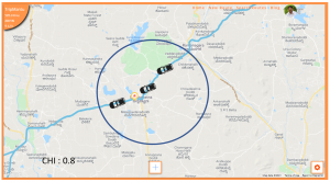
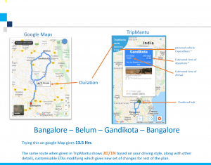
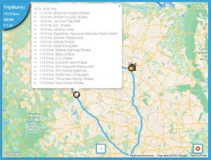
A scale is an essential tool on any map, allowing users to measure the distance between different points accurately. Adding a reliable and user-friendly scale to our maps has been our biggest task so far. We explored multiple versions, including a grid layout and a circular scale from the point of click.
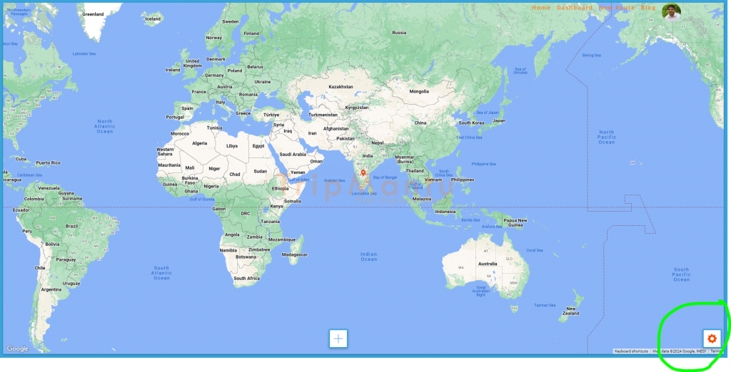
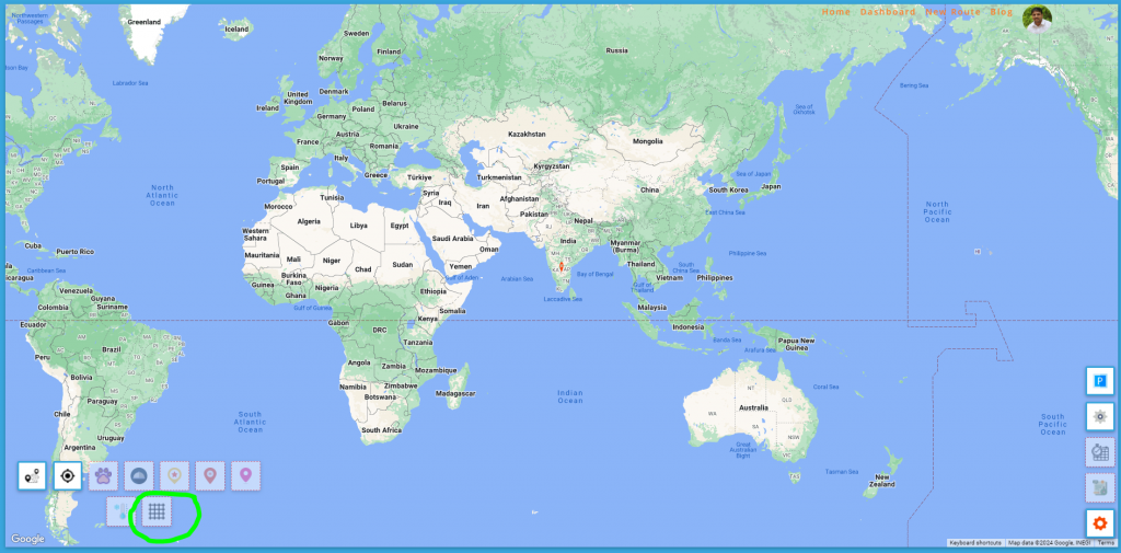
After much consideration, we found the current version to be the best. To use it, simply click on the command palette and select the scale grid. Let’s see how to do it here,
Click on the command palette and select the scale grid as shown below :
Once selected, click anywhere on the map, then click again at the place you wish to measure the distance to. You can see the distance between the two points in a small popup.
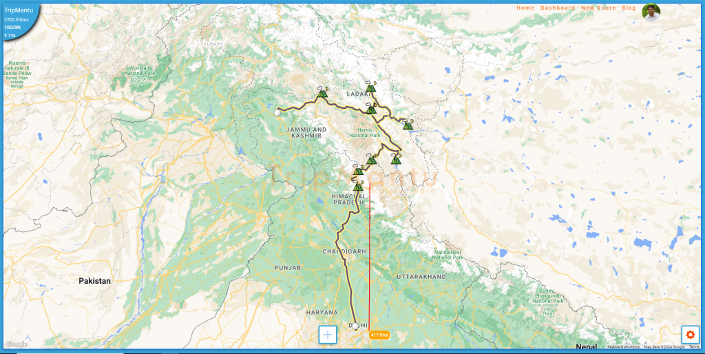
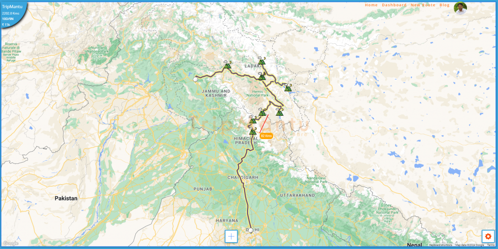
Once selected, click anywhere on the map, then click again at the location you want to measure the distance to. The distance between the two points will appear in a small popup. This feature is crucial because it allows you to measure distances to various points of interest without altering your planned route.
Interestingly, Google has also released a similar scale feature. You can click and drag at multiple points to get the distance between them. Their earlier scale, located in the bottom right corner, was very difficult to use.
Our new scale feature makes distance measurement simple and efficient, enhancing your overall mapping experience. We will further enhance it to support multiple clicks and measure the consolidated distance from the first to the last point.

